You know summer has arrived when the MITA (Maine Island Trail Assn.) guidebook arrives in the mail. Or the link to the new mobile app in iTunes for the online version. Now we can get down to some serious paddling adventure planning in Maine this summer.
The guidebook always sends me into flights of fancy. Will this be the summer I paddle the entire trail, from Kittery Point to Machias? With family obligations lessening their pull, why not?
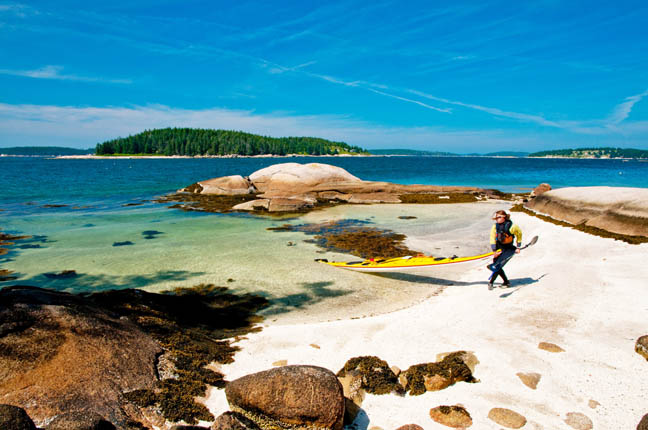
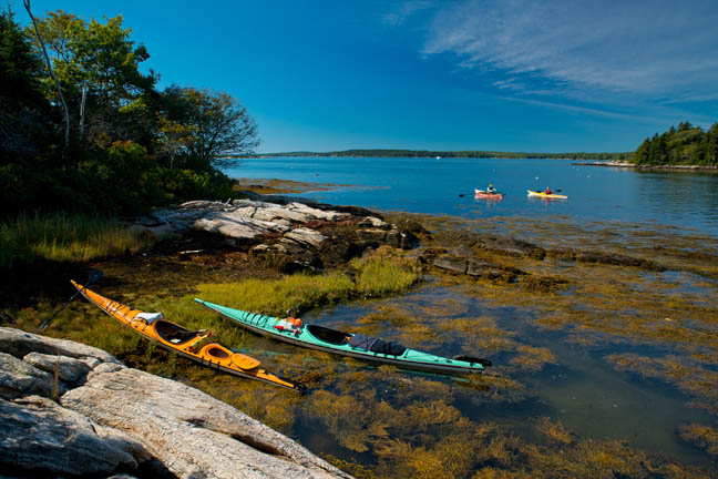
The other approach, though, as I read through most of 280 pages or so of the 6×8 spiral notebook is the idea of sampling. Let’s see, I could launch from Round Pond and visit Thief in Muscongus Bay or launch from Tenants Harbor and visit Cylends; or set out from Millbridge Town Landing to land on the bold and beautiful Bois Bubert. I am always ready to go back to Deer Isle, stay at Old Quarry, and do the Merchant Row circuit; then Jonesport Campground and paddle to the exquisite Little Water island. Just drive up for the weekend and putter around for a couple of days.
It is all eminently doable thanks to the MITA guidebook, which has now been published for 28 years. Like a sturdy oak tree, it has aged well. It still uses a lot of the original material – about 40 pages of the essentials like what to carry for safety measures, wildlife protection and viewing, camping regulations, leave no trace, what to do with waste and trash, afternoon winds and weather, and how to tie a knot or two. All of it is incredibly useful information, admonitions interspersed with basic know how.
Then come descriptions of the islands themselves, running south to north, now ending in the Canadian Maritimes. Having received this book every year for more than two decades, I flipped through, savoring many memorable visits of the place and people I was with.
The tenor has altered, from the mix of public BPL (Bureau of Parks & Lands) and privately owned islands, once nearly 50/50 split as I recall. MITA was a marriage of state and private owners who embraced and respected the spirit of mariners using their islands in the public interest. Over the years, a new cast of players has joined the ranks. Fifty concerns – land trusts, friends of, towns, a science center, a college, Audubon, Chewonki, and even the Cuckolds Fog Signal & Light Station Council, have joined the ranks, publicizing use, mostly day use only, but necessary jewels in the crown for safe navigation along the coast. It is a remarkable consortium of island owners, all joined in the spirit of providing public access. They only ask one thing, that the paddler follow the usage guidelines and restrictions, listed on the site description pages in the guidebook.
I would venture that the idea of the trail as an Appalachian Trail on water – the holy grail of paddling the full 375 miles, from Portsmouth to Cobscook Bay, spending a summer to do so, using the 200 islands and mainland sites as stepping stones – is still alive and well.
I found myself checking out, with increased interest, the islands of one acre or less which the guidebook notes would accommodate only two people; like the tiny house movement, maybe the tiny island movement will take off.
Also, I aim to use the app which is loaded with very useful information, including photos of the islands so you can get an idea of what the island looks like and land on the right one.
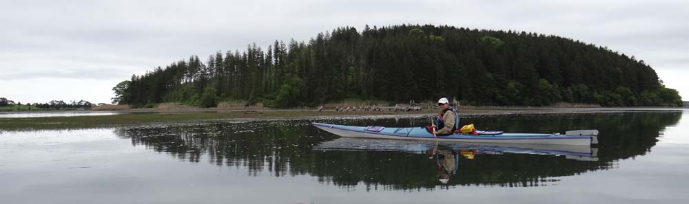
Summer is not summer without a trip to a Maine island. For the price of membership in MITA, you have all the information you need to make that happen. Go to MITA’s website for more.
See you on a Maine island!
Photos are copyright by Daniel E. Smith / ScenicNewEngland.net and courtesy of the Maine Island Trail Assc.
Testing The Waters
Atlantic Coastal Kayaker blog site