Reviewed by Peter Jones
Each spring, the Maine Island Trail Association (MITA) issues its annual updated guide to the Maine Island Trail, a 375-mile coastal waterway that spans the entire coast of Maine extending from Portsmouth Harbor in the south to Cobscook Bay on the Canadian border. Self-described as a “water trail created, protected, and enjoyed by people who love the coast of Maine” and modeled loosely on land trails like the Appalachian Trail, the Trail was conceived in the late 1970s and is the pre-eminent water trail of its type. It has since has become a poster child for other water trails in the United States.
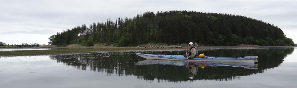
There are over 3,000 islands off the Maine coast, as well as thousands of rocky ledges which are exposed at low tide, and the Maine Island Trail connects over 200 of these islands as well as mainland sites which are available for day visits or overnight camping. The Guide provides a comprehensive description of all the sites as well as critical information on safe and responsible boating practices. Incidentally, nearly all the islands on the Maine Island Trail are wild and undeveloped.
The Guide is very much a “living’ book.” New sites are added or removed each year, conservation practices and usage guidelines can and do change, so MITA recommends that boaters refer to the most recent version of the Guide. The book divides the Maine coast into ten distinct geographic regions. For each region there’s an overview locator page that describes its general character, followed by one or more maps showing MITA sites and resources found within the region – for example in the Cobscook Bay region there are now eight sites. You can use the locator pages to identify where each trail site is in relation to other trail sites, launch sites, points of interest, etc. Following each locator page for that region are maps and detailed site descriptions that outline specific site usage guidelines such as where best to land a boat at low tide, where to place your tent and for how many campers, whether you might expect, for example, to see raccoons, mosquitos or a bald eagle.
At the front of the Guide are sections on Stewardship and Safety, topics which can often be dry and easily skimmed over, but a MITA publication is different. Obvious care has been taken to provide the information that you need but no more, and I for one, as a “summer kayaker” read these sections as a refresher each spring for “things you need to know” when taking small boats into coastal waters. MITA emphasizes both “low impact practices” to protect the natural integrity of the islands and also safety practices to reduce risks to boaters in a fun but high risk environment. What to do if you go overboard, how to interact with a seal you see on a rock ledge (don’t!), how to recognize plant species which are invasive in Maine – topics which are all succinctly covered here.
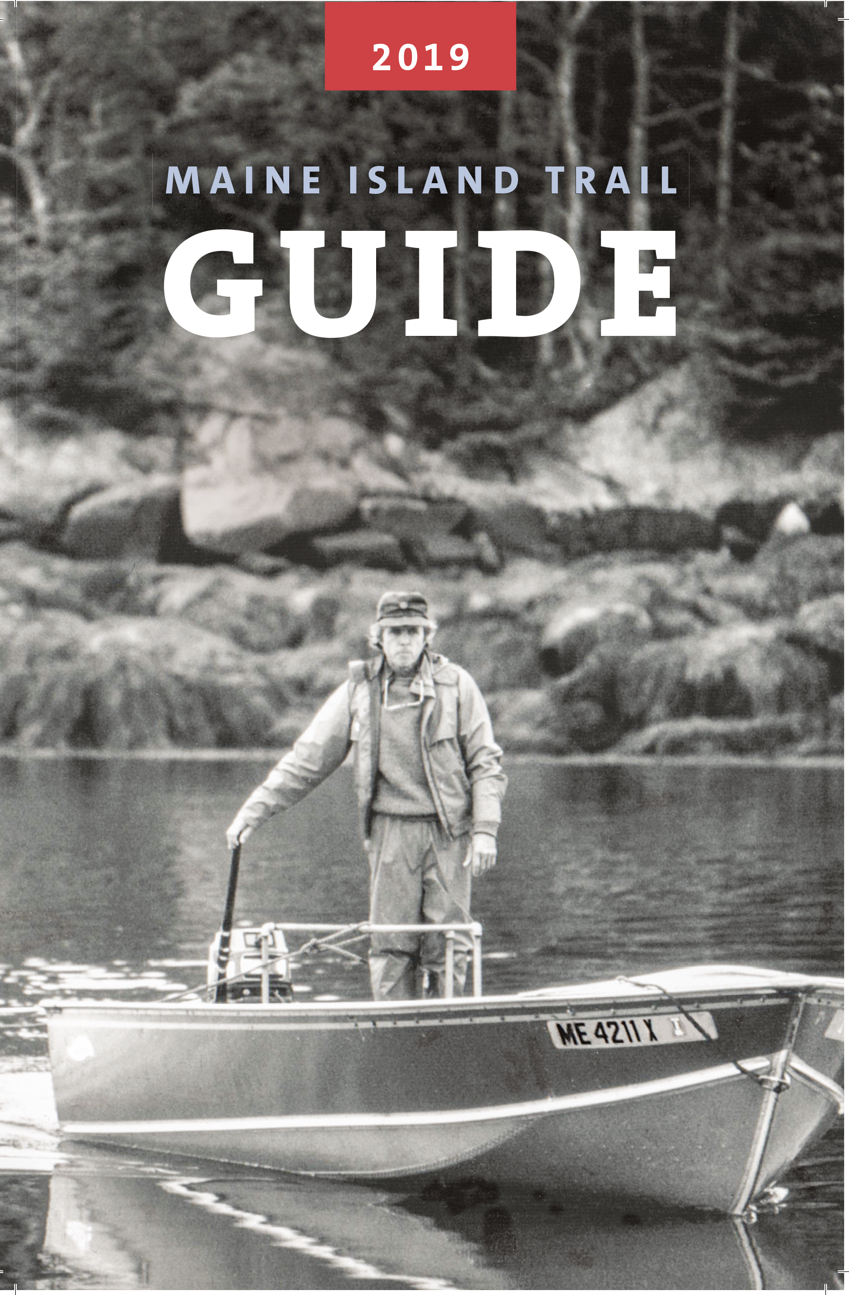
This year’s Guide is dedicated to the late Dave Getchell Sr., small boat captain, outdoor recreation writer, editor and cofounder of MITA and features a photo of Mr. Getchell on the front cover in the early days of the Maine Island trail. Also this year are two examples of newly added sites which illustrate the range of environments on the trail: Little Whaleboat Island in Casco Bay and Rodgers Island in Cobscook Bay. Little Whaleboat, “a cluster of islands linked by mud, sand and ledge” is owned by a Family Limited Partnership and is listed as having two camping sites for ten people in total. “Campfires permitted below high tide line…pets allowed on leash only.” About 200 miles to the northeast of Little Whaleboat, Rodgers was “bequeathed to the town of Lubec and…consists of two forested islands connected by a gravel bar. The bar is exposed at lower tides creating a single, slender island measuring roughly a half mile long. On the island one can often find songbirds and shorebirds and spot ospreys and eagles perched in the trees. Cobscook Bay has the highest density of nesting bald eagles in the northeastern United States…follow careful, low impact guidelines to minimize the potential for disturbance of birds and other wildlife. Please leave pets at home.”
MITA’s goal is to encourage conservationists and users of Maine’s coast to actively support the Trail and the Association through membership and the complete guide is therefore available to members of MITA but not to the general public in local bookstores or online. However, the members-only mobile app which contains everything found in the hardcover guide and then some is available, in a more limited version, to the general public.
The Maine Island Trail Guide is an indispensable and inspirational guidebook for all recreational paddlers, sailors, rowers and those moving under power in small boats on the Maine coast and coastal islands. And not just that – it makes for great bedside reading!
Peter Jones is the owner and principle guide at Driftwood Kayak and leads one-day and multi-day trips out of Stonington, Maine. Peter spent his childhood in Wales where he built his first kayak at his high school “canoe club.” He is a registered Maine Guide, a former American Canoe Assn. Instructor and a certified Wilderness First Responder. Peter and his wife, Christine, a children’s author, live in Gloucester, Mass., and Deer Isle, Maine. You can reach Peter at www.driftwoodkayak.com.